When the Visualization Page is loaded please note that by default all the models are unselected and therefore you only see the location of the project and the background maps (in order to change the background map, select on the Maps menu the map you want to use).
You also have the possibility in upper part of the screen to:
- Allow cross-section, and use the tool to create one
- Change the height offset to get the selected model closer to the map as the map is always visualization on 0m see level but your model might be at a different height according to the height system and exact altitude.
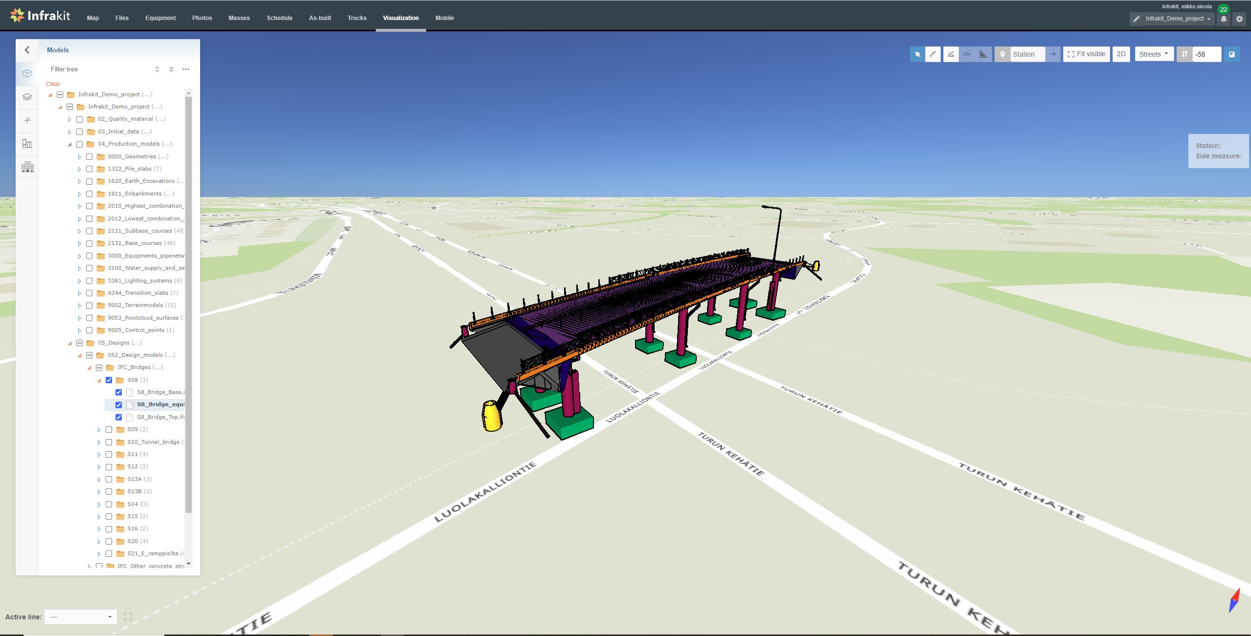
To visualize a model select Models on the menu:
- To open the folder structure
- To locate and select the model(s) you want to visualize
In order to “navigate” on the 3D view note that:
- you can zoom using the zooming tool of your mouse
- left click and dragging will make you move in x/y direction around the 3D model
- in order to move up and down (in z axis), use your mouse and hold the “shift” button on your keyboard
- right click and dragging allows rotation around the point clicked
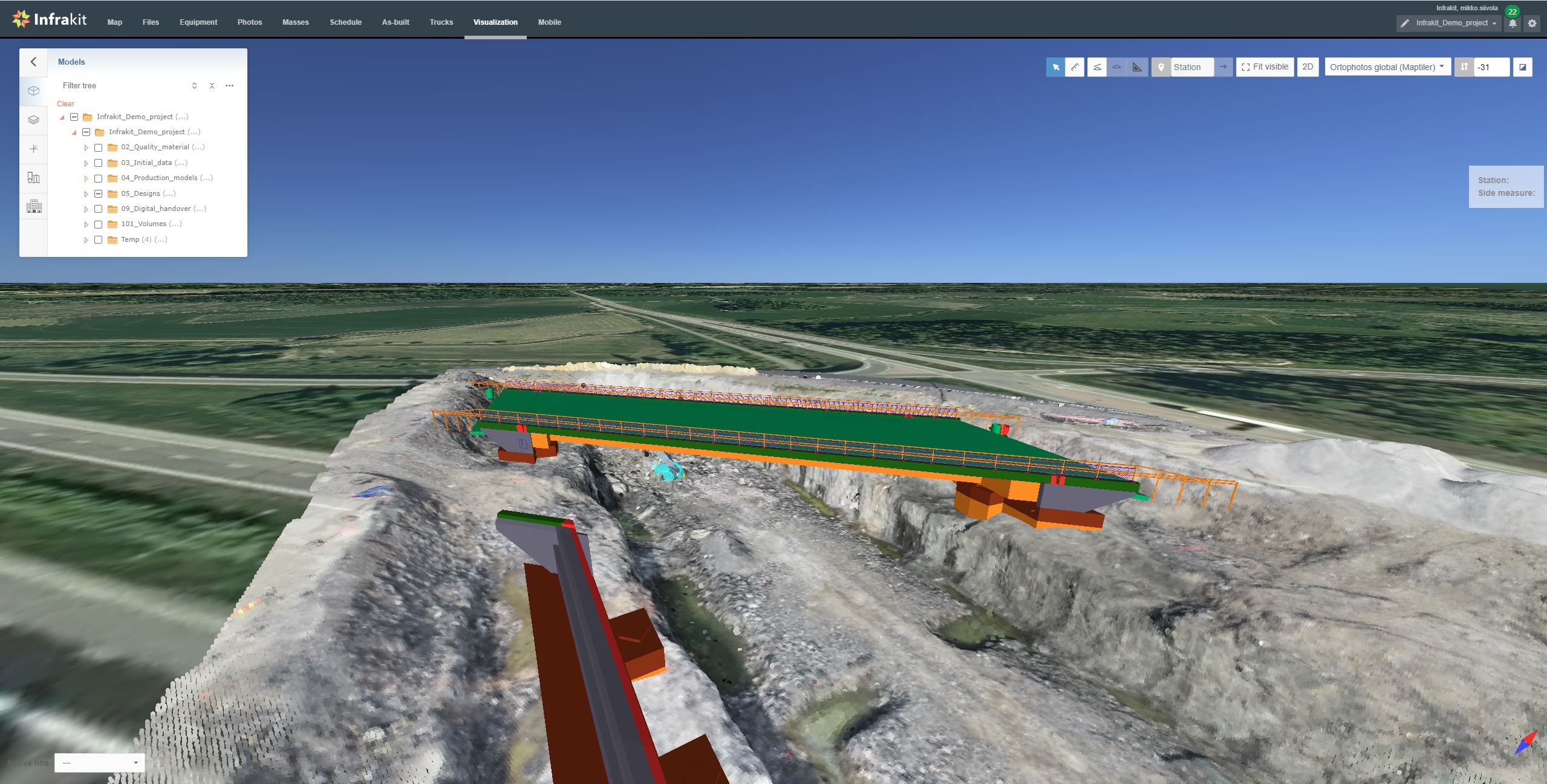
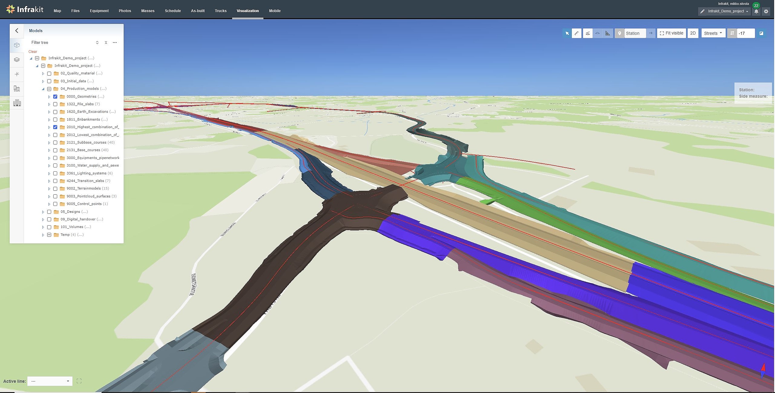
Other examples of 3D visualization: