Many municipalities and public infra owners provide open data sources as web service. These Geospatial Information Systems (GIS) services follow typically standards by Open Geospatial Consortium (OGC), such as Web Map Service (WMS). The content provided from these open interfaces may include city parcels, project boundaries and nature reserves to name a few.
With relevant map tiles the user receives actionable insight by increased situational awareness. For example, foreman can see the machine location in Infrakit together with areas read from WMS. Areas may include project boundary, aerial images, hazardous areas and areas that are prohibited to enter due to nature reserve.
See the following video that discusses the process to enable custom map tiles in Infrakit:
Note! WMS source must have secure Cross-Origin Resource Sharing (CORS) mechanism activated to view map tiles in Infrakit. Same map tile sources might work in selected desktop applications that do not check for security options.
Adding XYZ-maps
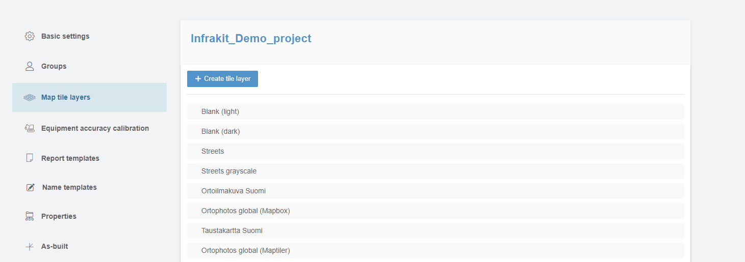
- Open project settings (right upper corner)
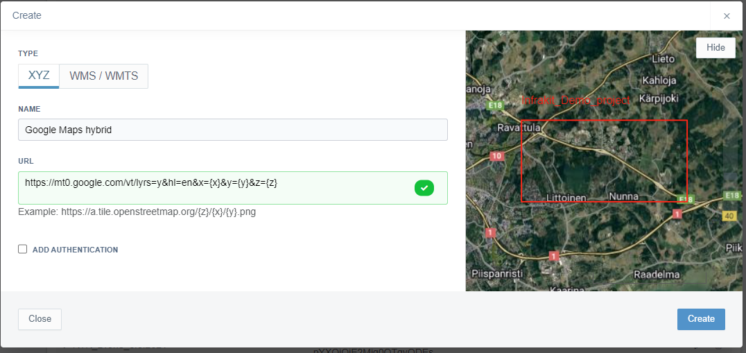
- Select Map tile layers and add the XYZ-link to the provided box
- Map tile layer is now added to the list of project map tile layers