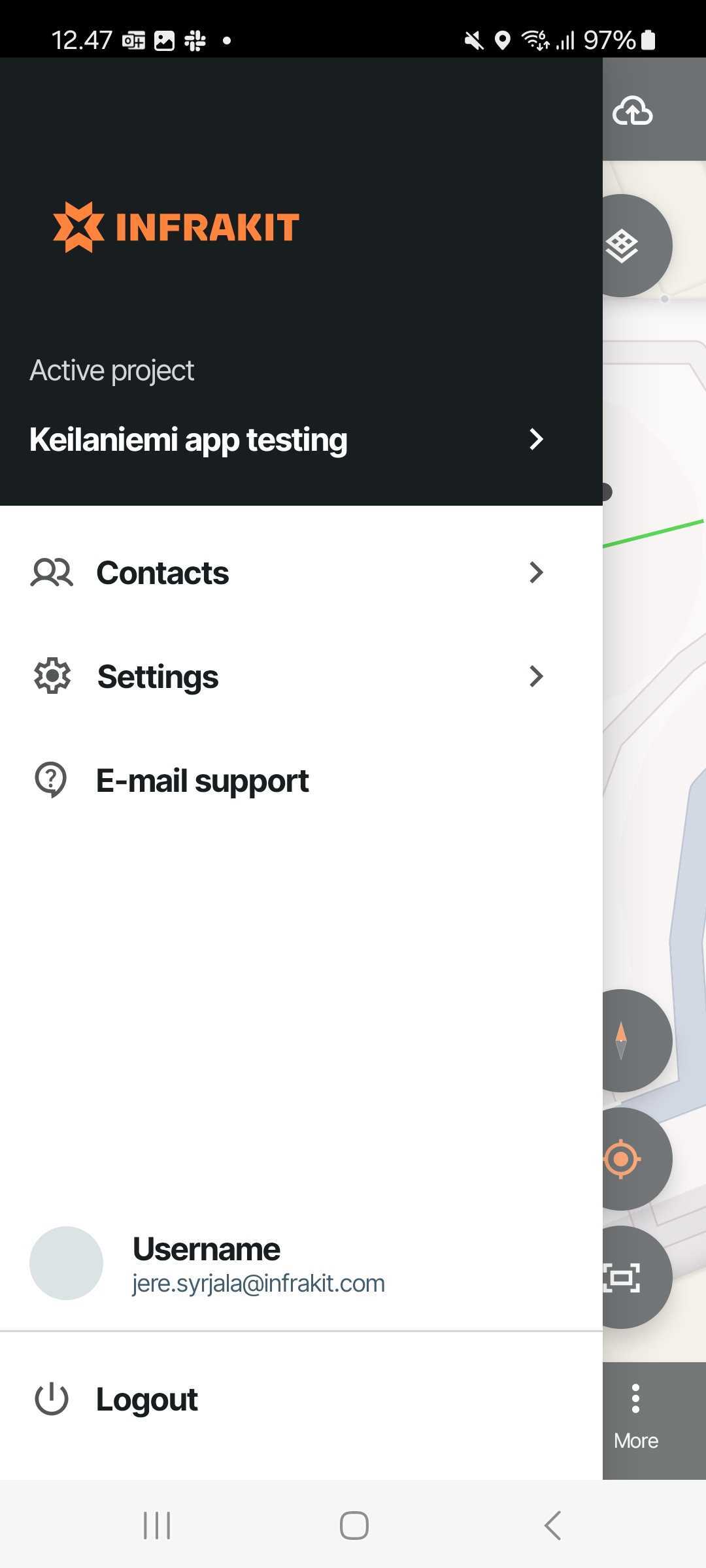
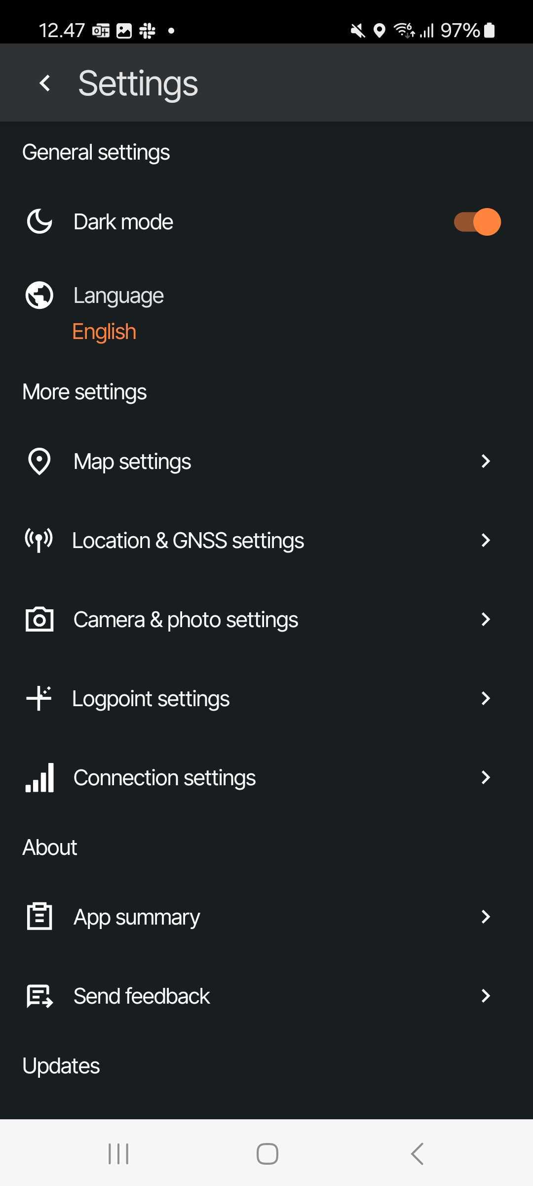
To connect your rover, start by getting into the Menu on the top left and from there to Settings -> Then go to "Location & GNSS settings"
Let's review them one by one
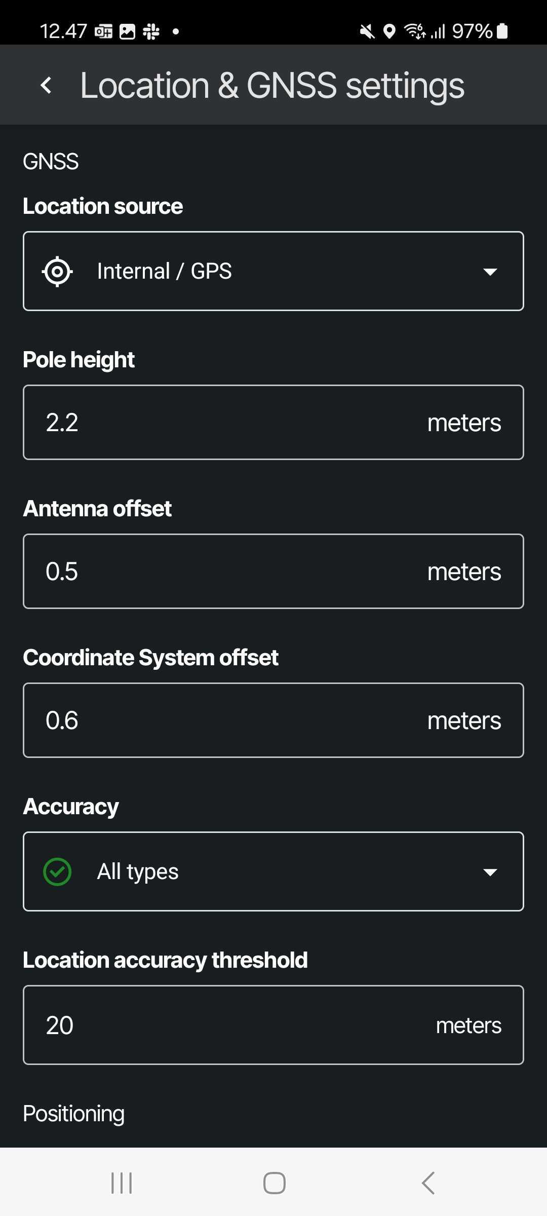
Internal/GPS
- If your rover uses a mock location app, you must do the setup and connection via that and then simply use this setting to use the location the mock location app uses
TIP: You'll most likely need to enable using mock location app location from your device settings!
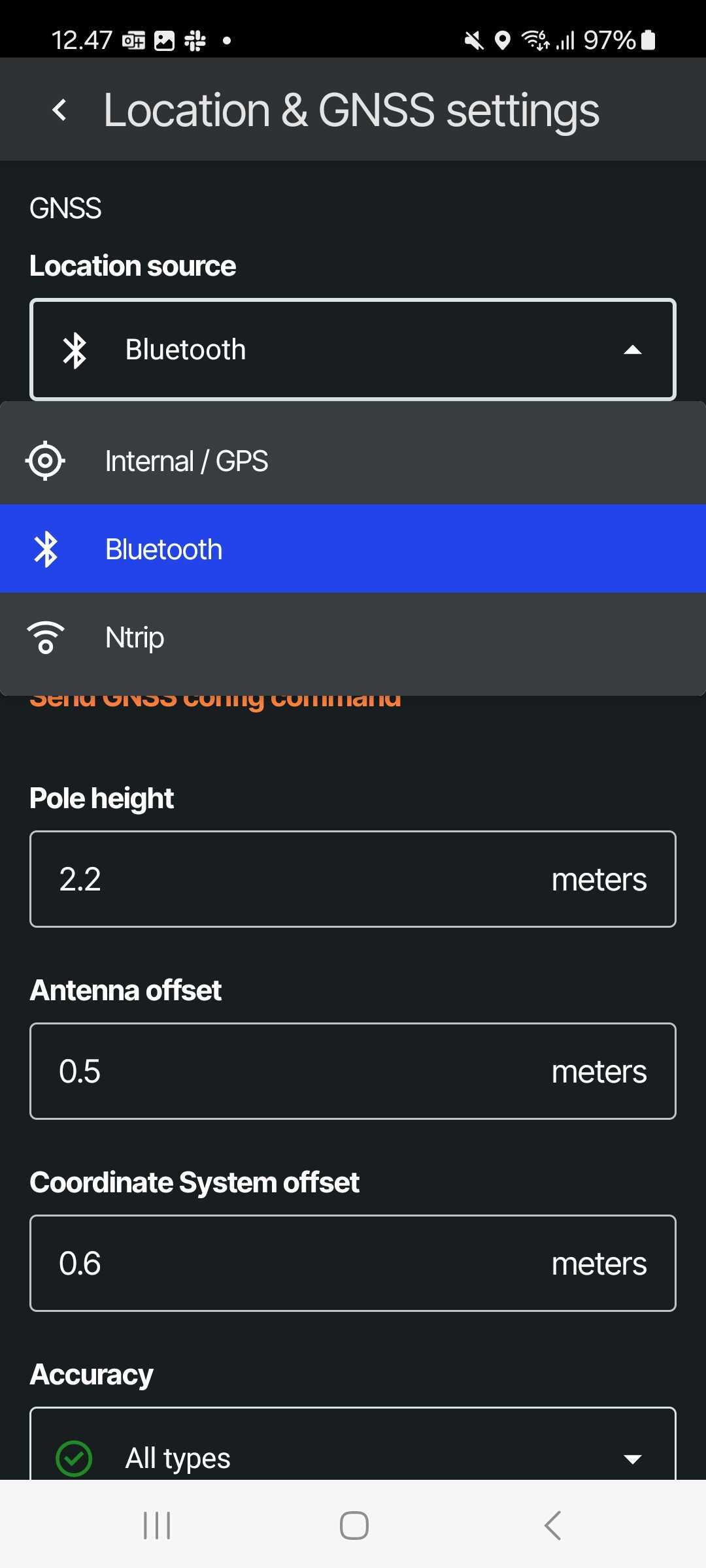
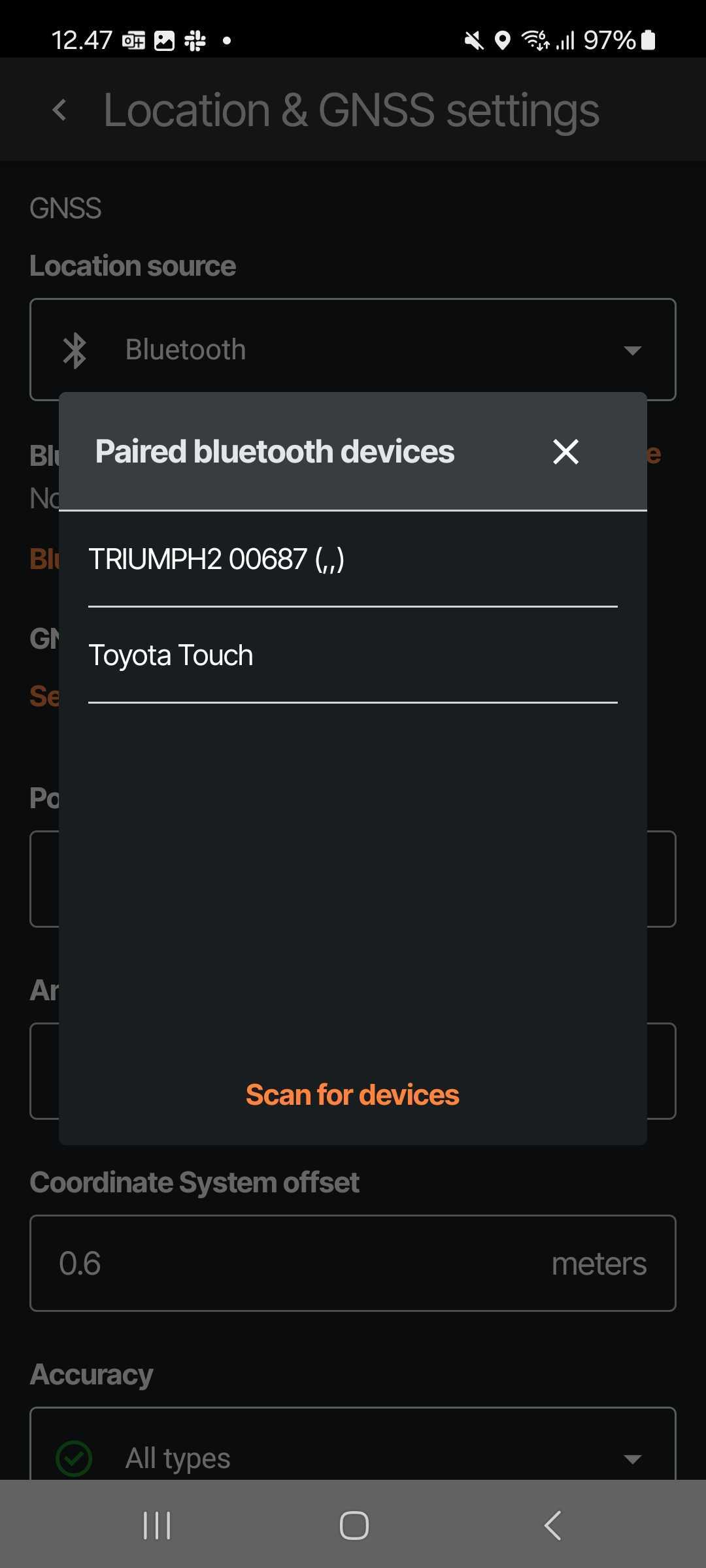
Bluetooth
- Connecting Bluetooth is a simple way to connect the device to share the location to SURVEY app - Just select the device from the list
Note: We often encourage users with Bluetooth connection to use additionally NTRIP service to correct the signal to ensure best results in device accuracy
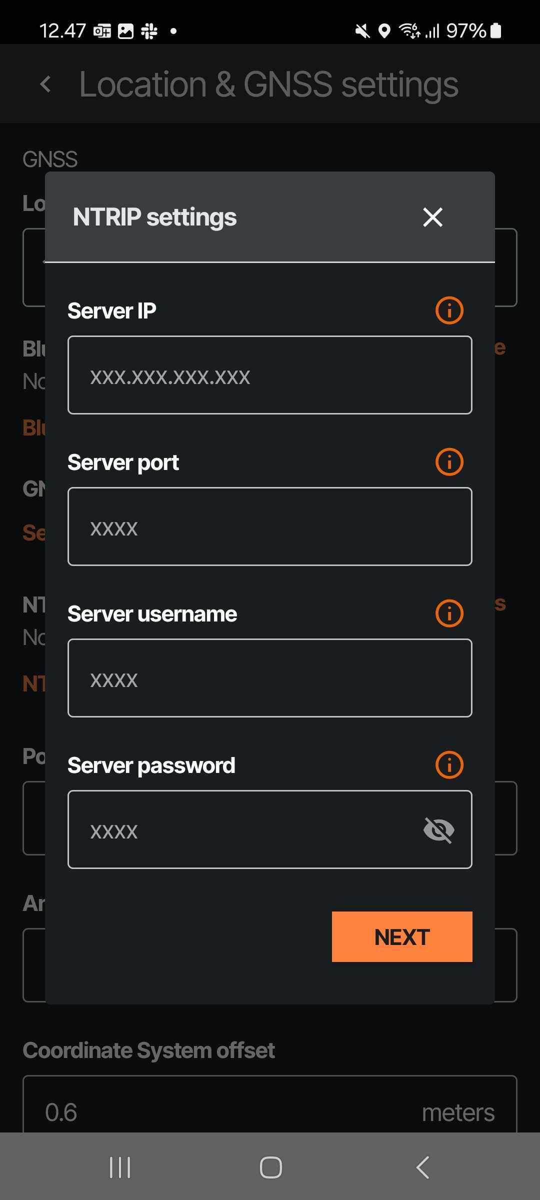
Ntrip
- If you have an NTRIP service to in use you can connect it here once the Bluetooth pairing is setup
- There you'll just need to enter the NTRIP configuration credentials
Other things on connecting the rovers
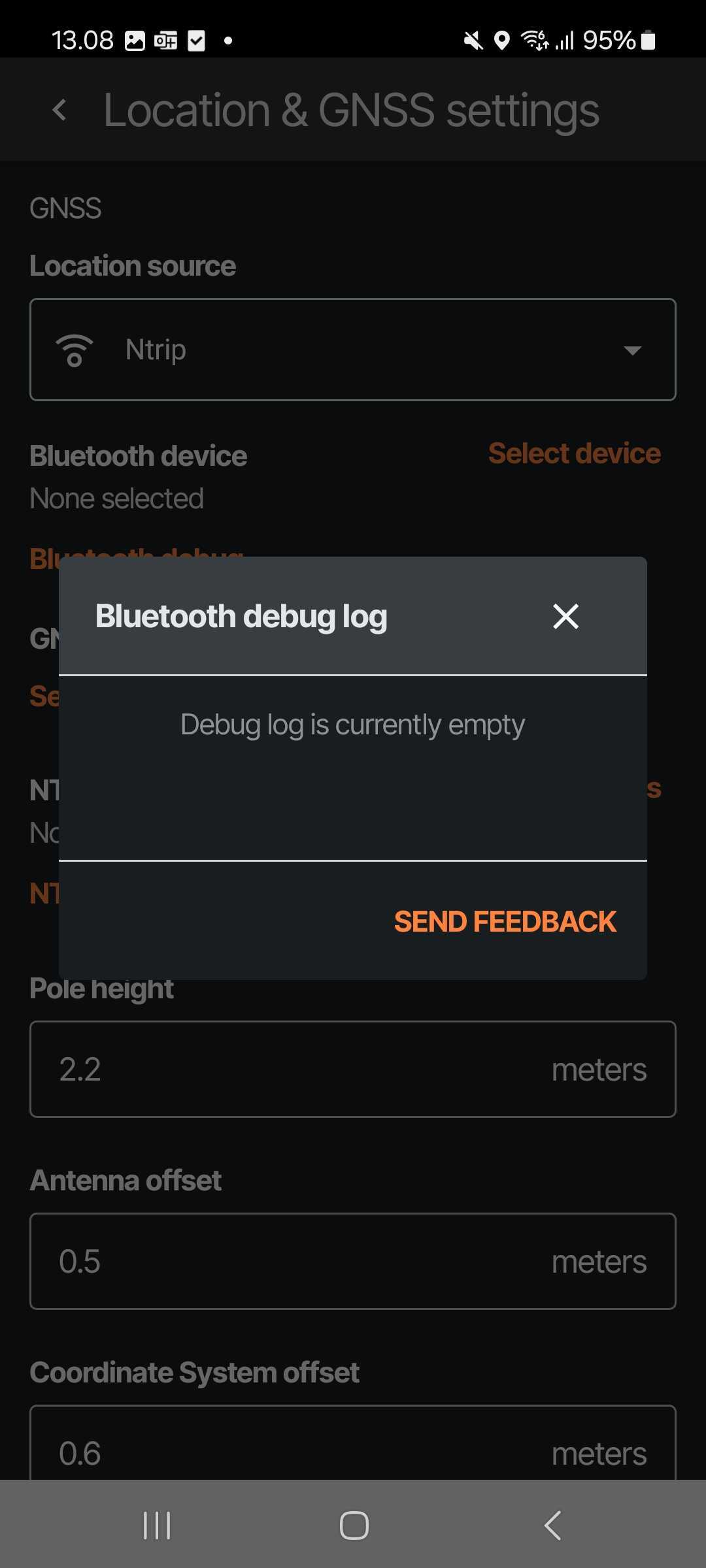
Debug logs
- Whether connecting Bluetooth or NTRIP, some odd stuff can happen - In these cases we have built-in a debug log -> Just press this and you'll see the log + have opportunity to send this log directly to our support to help us figure out the issues together!
Height and offset configurations - You can configure these also in the app:
- Pole height
- Antenna offset
- Coordinate system offset
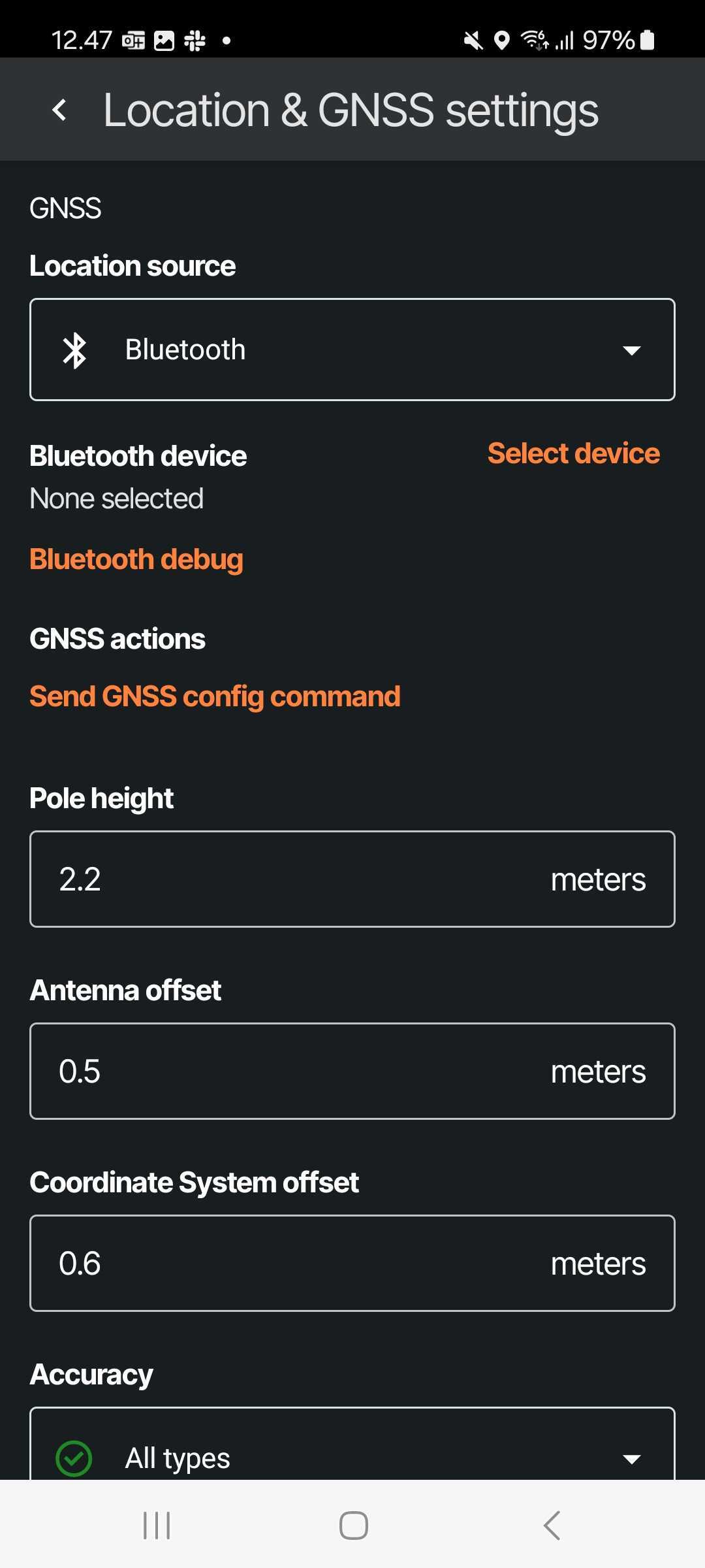
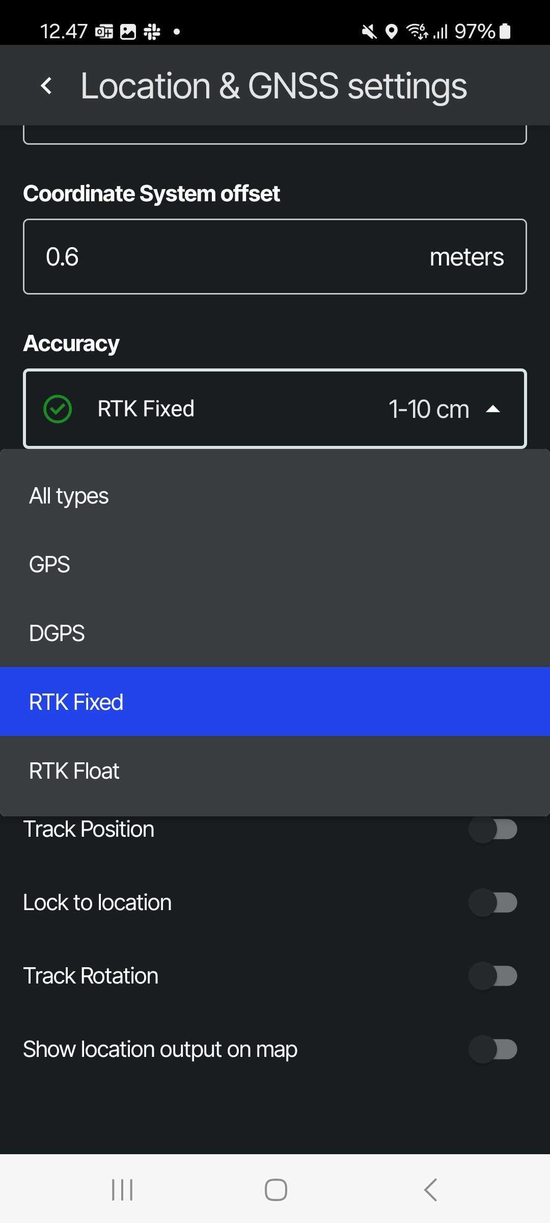
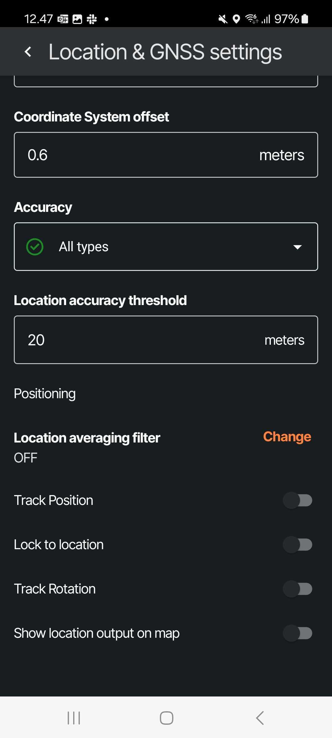
Accuracy thresholds and accepted Accuracy status for taking log points
You can also make the app to
- Track your Position and Rotation (so those update in the map screen)
- Lock to location
- Show location output on the map
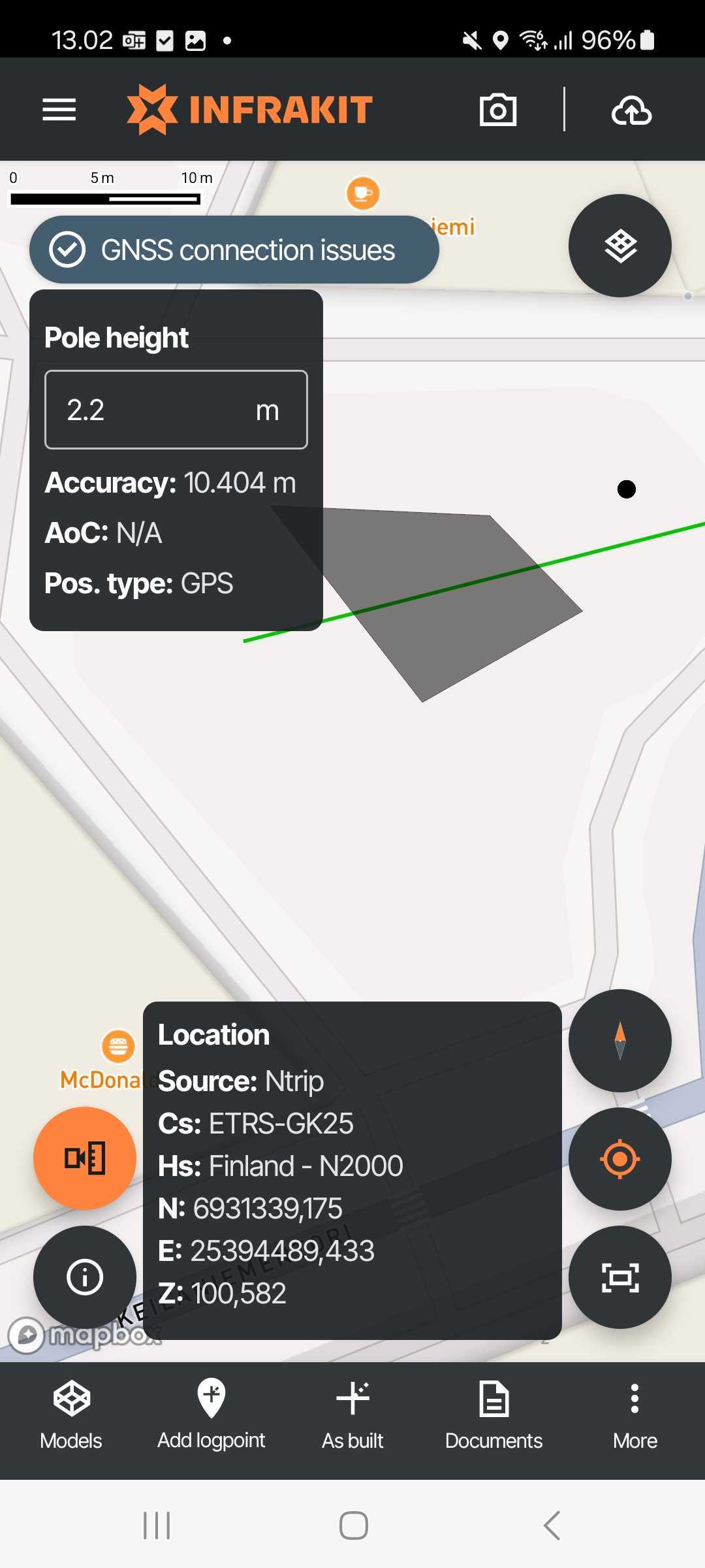
Checking connection status while Surveying
Eventually once connected you can see the GNSS connection status from the left top indicator with Position type and Accuracy information + you can change Pole height from the go in here
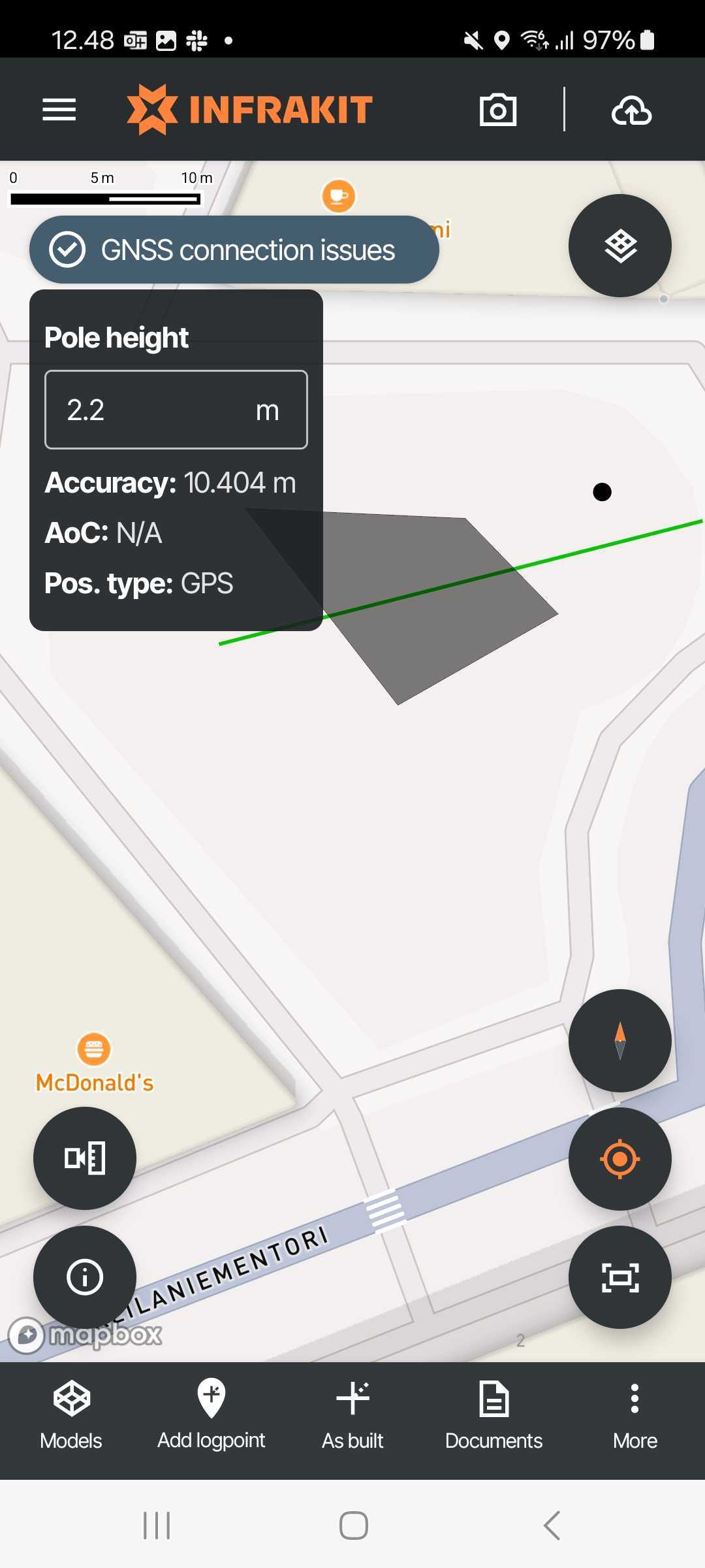
On top of these you also have more detailed position information available to see in the left bottom buttons