Welcome to Infrakit Knowledge Base
Search our knowledge base for answers or contact support@infrakit.com / +358 9 4257 9297
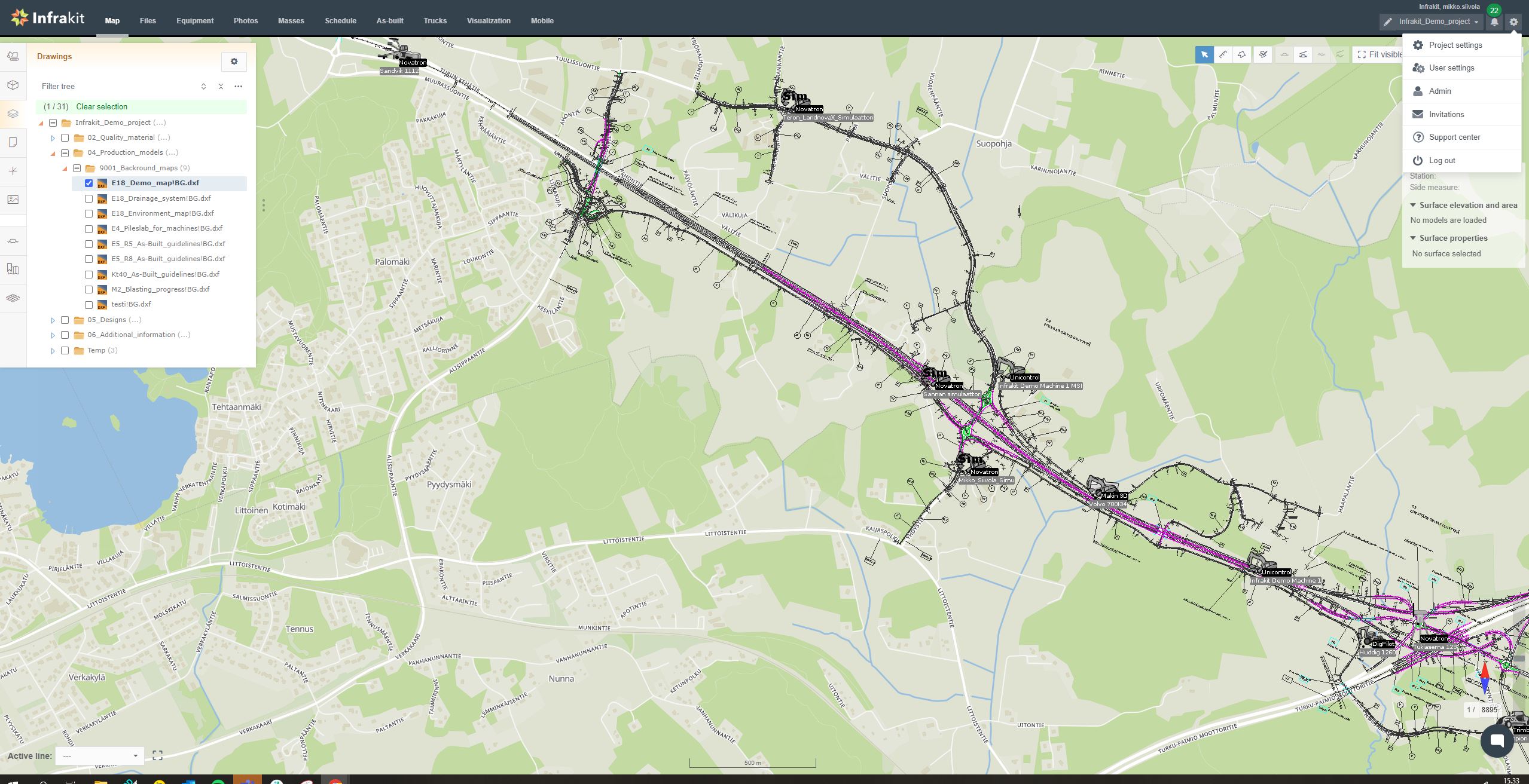
Infrakit OFFICE
Creating a project
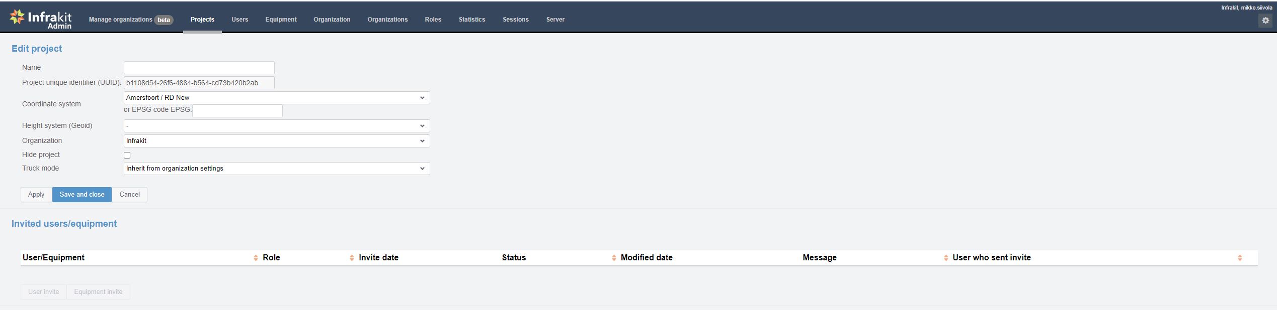
New projects can be created by the Admin in Admin-page.
Updated 5 days ago
To create a new project:
Click on “New Project” in the “Project Tab” which will open a “New Project” interface.
Define a new name for the project.
Infrakit shows all designs and as-builts in site coordinate system. Therefore, a coordinate system must be defined to each project. If you have trouble finding your local coordinate system, please contact support@infrakit.com.
Finally save the project before being able to invite users or integrate machine guidance services.
After the new project is named and created, further project information is given in Infrakit-pages by design engineer or at the construction site by Chief Surveyor.
If the project is a road or rail construction site and you have a main alignment, it is recommended to define that in the Project-page. This helps communicating user locations at site. Infrakit FIELD app and Mobile calculate user position as pole/chainage position and side distance from the selected or main alignment, using the build-in GPS position of the device in use.
Borderlines can also be included for the project as a separate model file and shown as vertical lines in cross section view. Also two general surface models can be included, normally used for base-rock and surface model. These are also shown when cross sections are drawn from user selected positions.